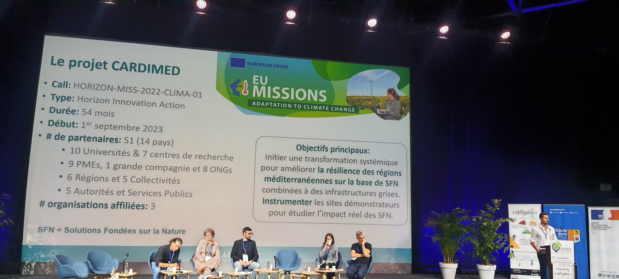
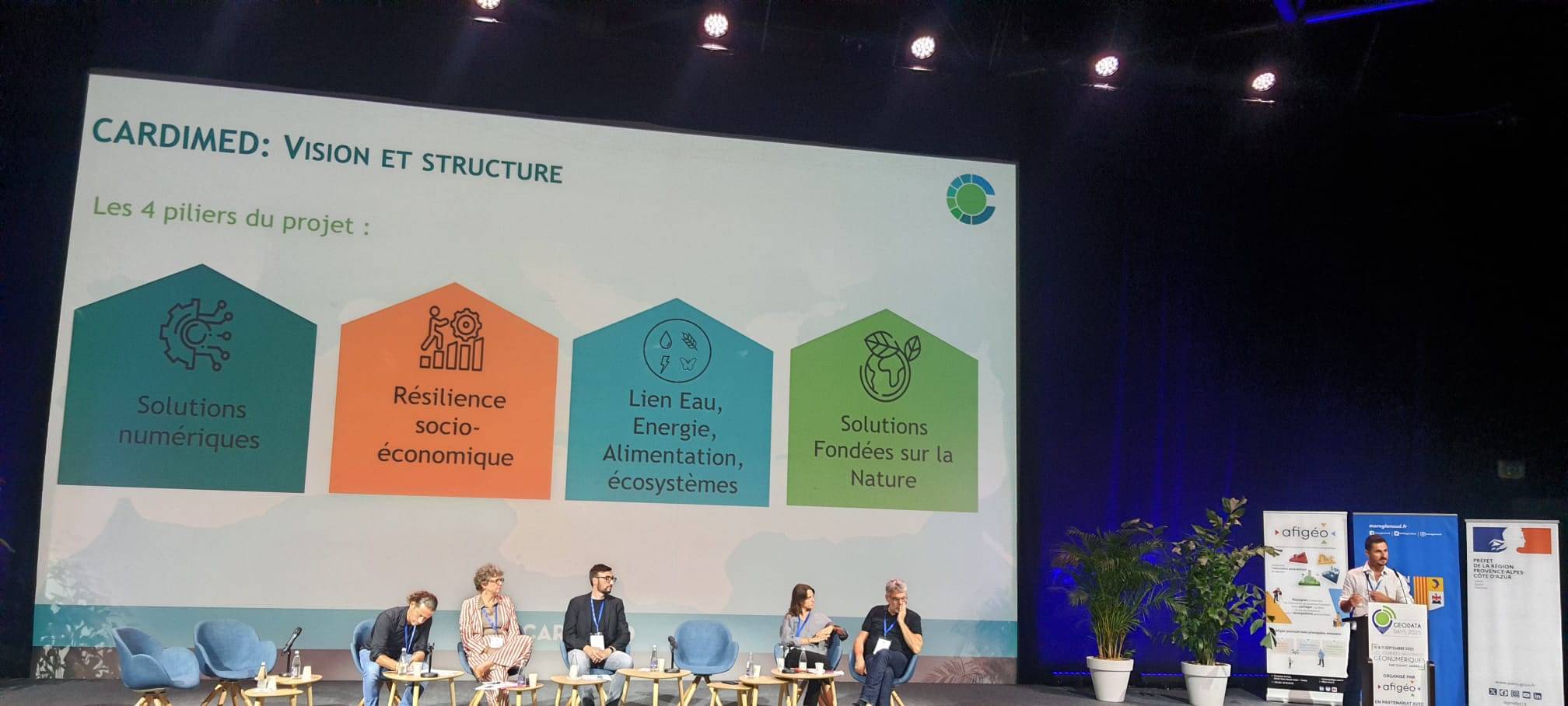
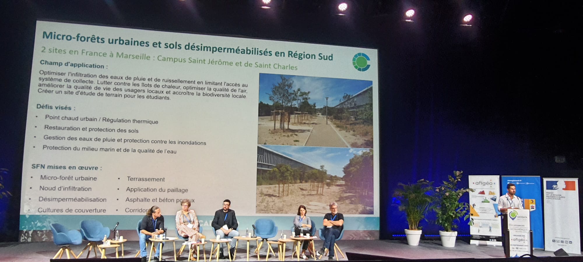
In early September 2025, our French partner from SEMIDE had the honor to present the CARDIMED project at GeoDataDays 2025, held in Marseille on 10–11 September.
GeoDataDays is France’s national reference event for the geospatial / geomatics community. Organized by Afigéo, the 8th edition took place in Marseille, hosted by the Région Sud, the Département des Bouches-du-Rhône, the Métropole Aix-Marseille-Provence and the City of Marseille, with support from national partners such as the Ministry for Ecological Transition / CNIG, Connect By CNES, and Enedis.
The central theme in 2025 was “Acting in an evolving world: indispensable geodata”, reflecting the urgent, cross-disciplinary challenges faced by territories in climate, security, societal, and technological transitions.
GeoDataDays is designed to bring together all actors concerned by geodata: elected officials, territorial managers, researchers, geographers, private companies, startups, public institutions, Solution providers & industry, National or European institutions, User communities & NGOs, Cluster / innovation networks, Media, communication, and data publishers. The format spans plenary debates, thematic sessions, technical workshops, “spatial for territories” tracks, an exhibitor space, and networking or social moments.
The agenda included around 30 conferences, workshops and technical sessions with 130 speakers / interveners. Over 100 exhibitors showcased their solutions, services, and innovations in geomatics at the event. The attendee count was approximately 1,600 participants.
Because GeoDataDays positions itself as independent and broadly open to the geodata community, it allows productive exchanges among these varied actors: those who produce geodata, those who consume or use it, those developing tools, and those shaping policy or governance.
SEMIDE, through Elrik Du Saillant Du Luc, presented the CARDIMED project, during a main conference of 400 participants, to an engaged audience of geodata professionals, public actors, and researchers.
They positioned CARDIMED within the landscape of geodata & health , NBS benefits and co-benefits, and environmental data. The concept, objectives, and scope of CARDIMED have been presented as the data collection, methods, and technologies involved.
Local participants were really interested on the expected contributions to territorial decision-making, risk management, and public services offers.
By situating CARDIMED within the evolving geodata ecosystem, SEMIDE engaged with other participants, from researchers and developers to territorial actors, and stimulate discussions about synergies, adoption, and scaling.
Being on stage among 130 experts and in front of an audience of over a thousand was a chance both to showcase the project and to connect with potential collaborators, users, or supporters.
Participating in GeoDataDays 2025 to present CARDIMED helped raise the project’s visibility within the national geodata community; offered real feedback from peers, potential users, and domain experts; fostered networking, possible partnerships, and cross-disciplinary dialogues; situated CARDIMED in the broader debates around data governance, digital sovereignty, ethics and sustainability; and reinforced that geodata is increasingly central in tackling complex territorial, environmental, and societal challenges.